More than 30 years
of experience
of experience
Photography
Photography
A Whole New View
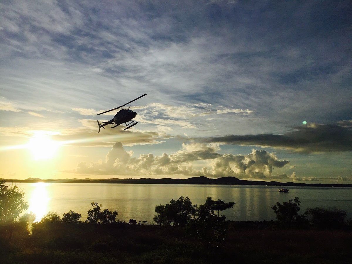
Aerial photographs and videos are taken from an elevated or direct-down position in the air. This technology has several research applications, including in archaeology, urban studies, climate change and in other earth sciences. These still photographs and videos can capture features that cannot be seen from ground level, including crop, patch and soil marks; low profile monuments; infrastructure; dying vegetation; and more.
Stills
Our pilots have years of experience collecting aerial data. They understand the technical concepts associated with aerial photography, including stereoscopic coverage, fiducial marks, focal length, roll and frame numbers, flight lines and index maps.
Video
Aerial videos can capture a complete view of pipelines, crop fields and other points of interest. Together with global positioning systems technology, the aerial data can be synced to a video mapping program for scene understanding and object tracking applications.